Pithoragarh is the closest major town to Munsiyari — here's the quickest way to cover the last stretch.
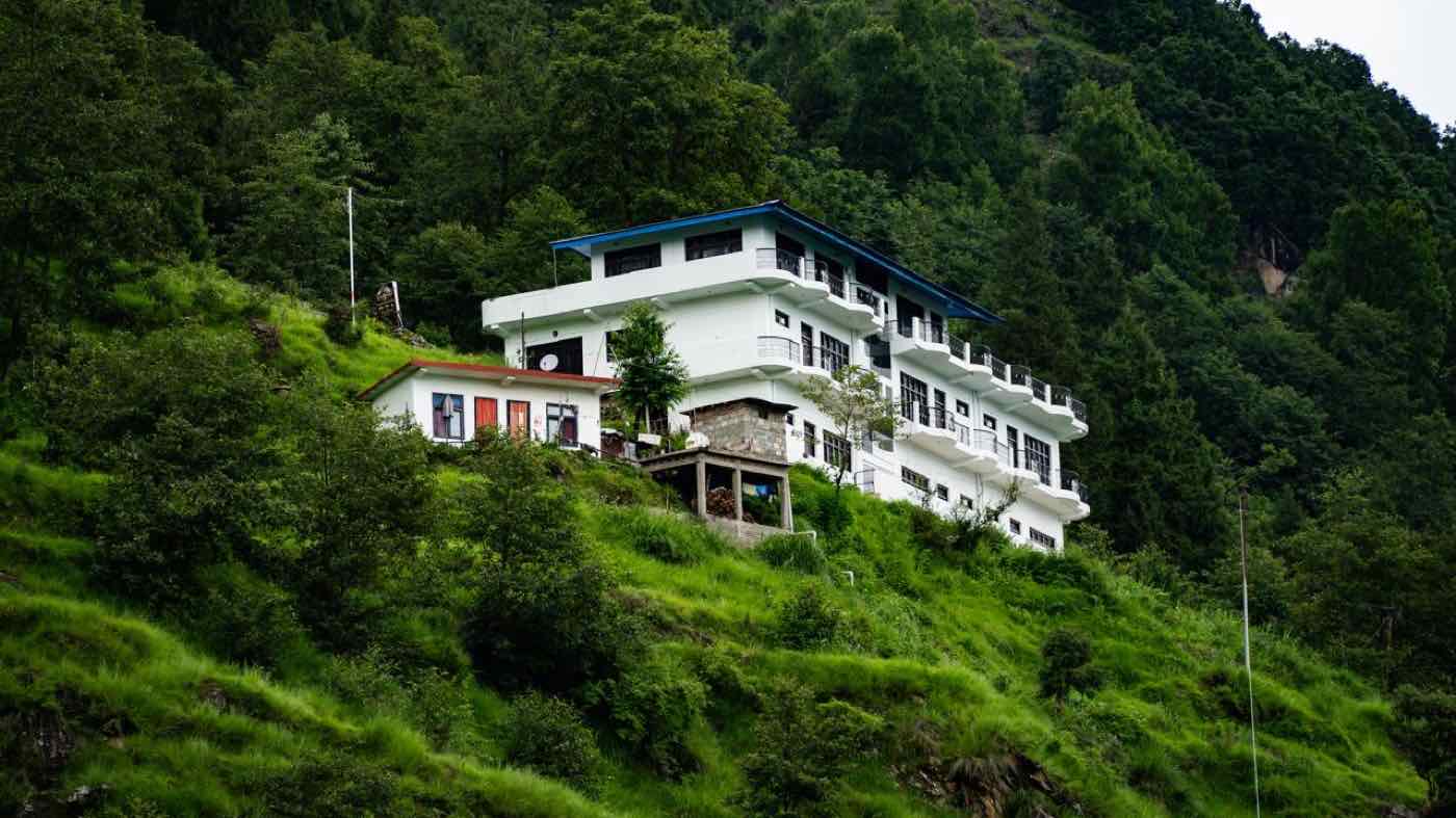
If you're already in Pithoragarh, you're closer to Munsiyari than from almost any other town on this list. Road distance is commonly cited at around 129 km (a few sources put it a little lower, closer to 113 km), and the drive takes roughly 4.5 to 6 hours on NH9 and the Jauljibi–Madkot road, depending on traffic and stops.
The direct route out of Pithoragarh runs Pithoragarh → Jauljibi → Madkot → Dhami Gaon → Lumati → Munsiyari on NH 109K, following the Kali and Gori Ganga river valleys rather than looping back through Almora or Bageshwar. Jauljibi sits at the confluence of the Kali and Gori rivers and marks the turn north toward Madkot, about 22 km short of Munsiyari.
Road quality varies along the way: the Munsiyari–Madkot stretch has a few rough, occasionally muddy 200–300 m patches (worse after rain), it improves from Madkot to Dhami Gaon, and the Lumati–Munsiyari stretch is one of the better-maintained roads in this part of Uttarakhand. It's a different road from the Thal → Birthi Falls → Kalamuni Top stretch that traffic from Haldwani, Delhi, Lucknow, and Rishikesh uses — those routes reach Munsiyari from the west, while this one comes in from the south along the river valleys.
Regular shared taxis and a handful of buses run this route. A private sedan taxi is commonly quoted around ₹2,500, and an SUV a bit more — again, worth confirming current fares before booking, since prices move with fuel and season.
This is a genuinely striking route for its length — river valleys, forested slopes, and small villages the whole way, with the confluence at Jauljibi one of the more memorable stops on any short drive in this part of Uttarakhand.
Message us on WhatsApp before you set off from Pithoragarh and we'll help you time the last stretch into Sarmoli.